24 February - 19 January
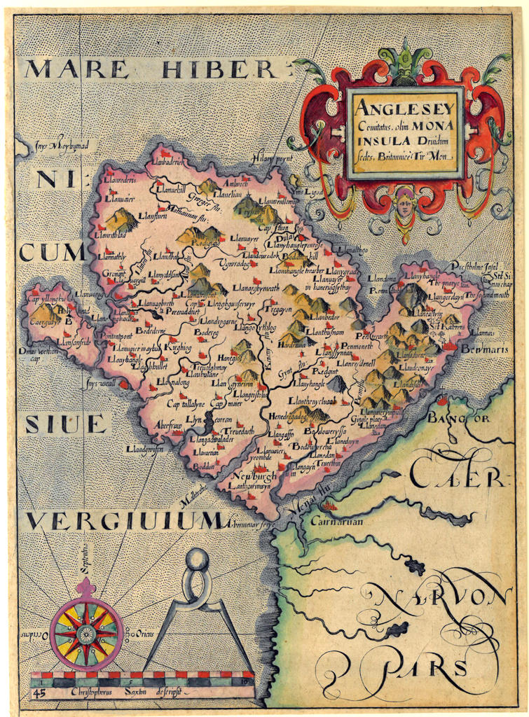
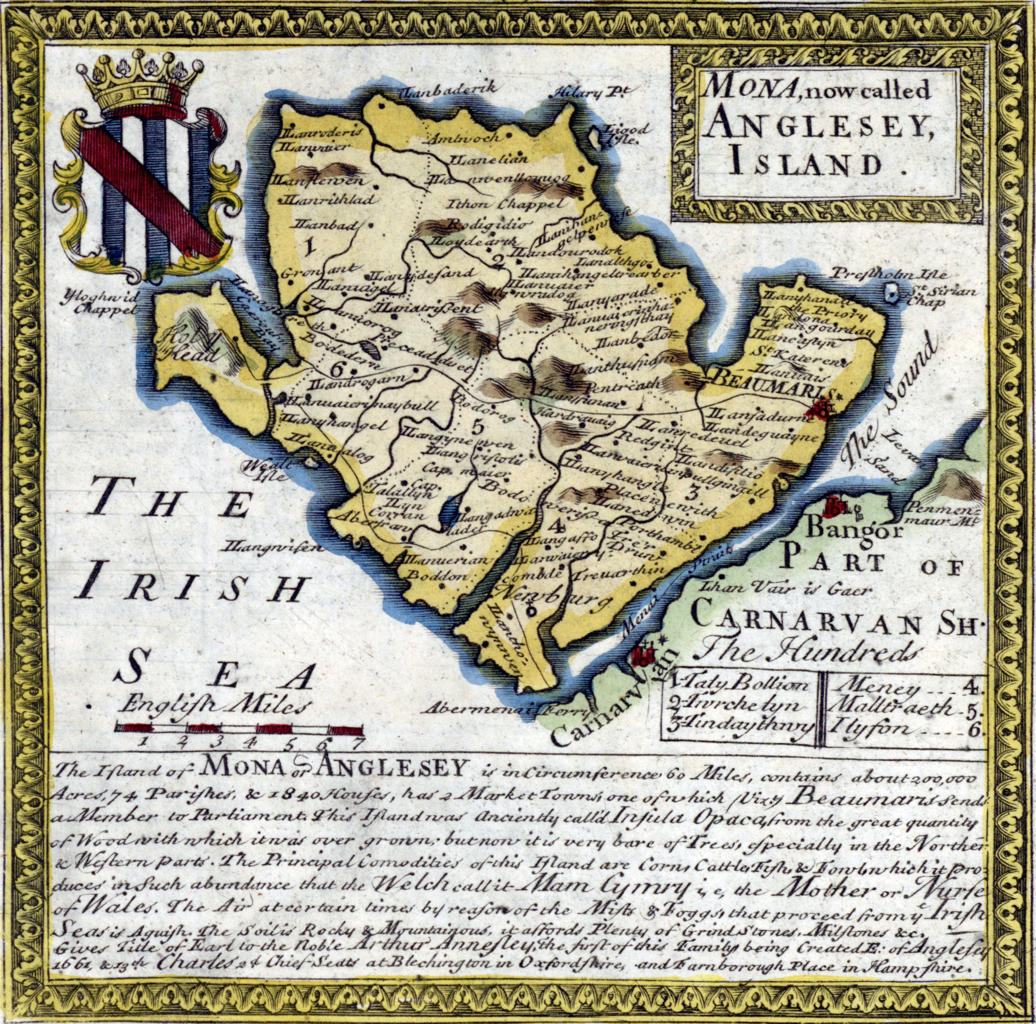
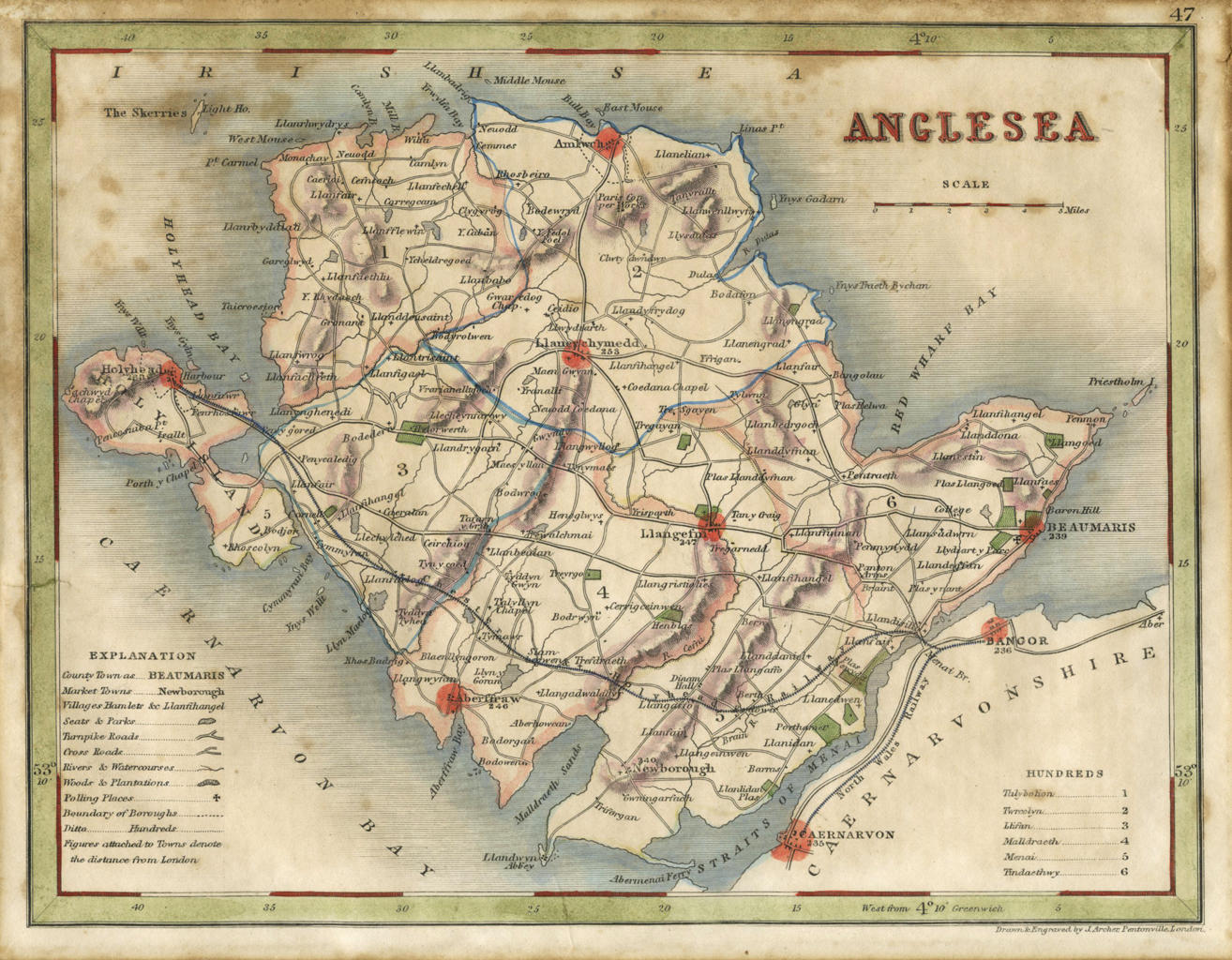
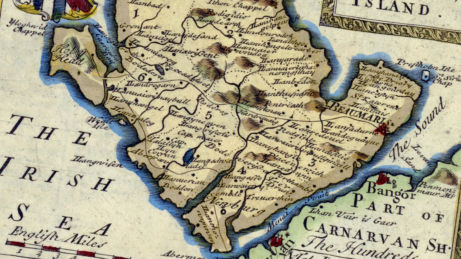
Mapping Anglesey
For centuries maps have been used for many purposes. From helping to guide travellers, to confirming political boundaries and land ownership.
24 February 2024 to 19 January
With examples from the Anglesey Archives and private collections, this exhibition will take you on a journey to explore Anglesey through maps. From rare sixteenth century manuscripts maps to estate maps and coastal charts, they reveal how mapping techniques, and the island have evolved.
Exhibits
Gallery of 3 exhibits